

 Image 1 of 5
 Image 2 of 5
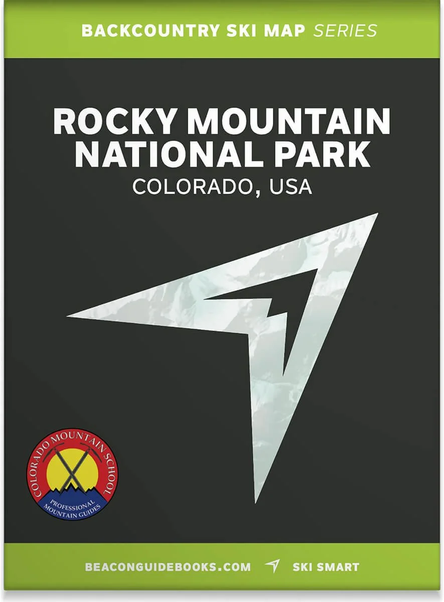 Image 3 of 5
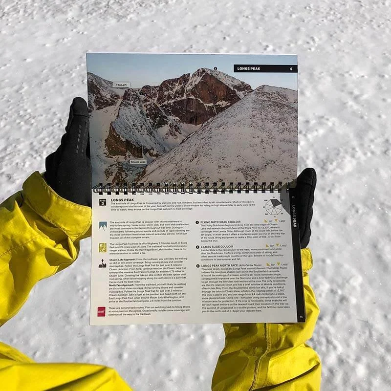 Image 4 of 5
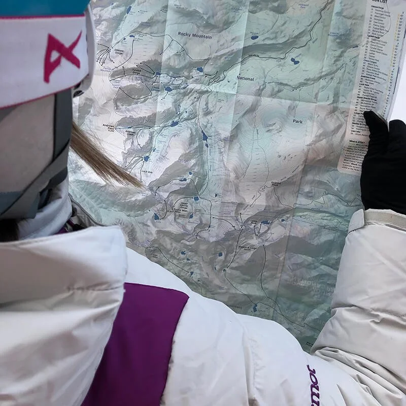 Image 5 of 5
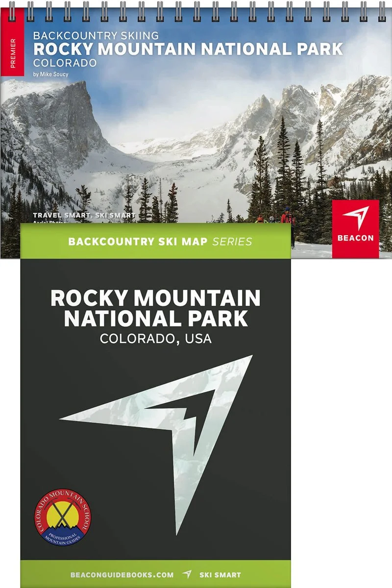
Backcountry Skiing Rocky National Park, Colorado


Rocky National Park Backcountry Skiing Book and Map
“The Park,” as locals know it, is home to some of the most diverse, accessible ski terrain as well as the greatest concentration of ski mountaineering objectives in the Colorado Front Range mountains. Here you will find options from entry-level to expert, from couloirs to alpine bowls. Enjoy a social day at Hidden Valley or explore the high-alpine spring skiing from Trail Ridge Road. Designed to go along with you on your tours and accompany the Backcountry Skiing Rocky Mountain National Park Ski Map.
The book and map cover the following zones: Fall River South, Fall River North, Lower and Upper Hidden Valley, Bear Lake Trailhead, Odessa Gorge, Tyndall Gorge, Chaos Canyon, Glacier Gorge Trailhead, Loch Vale, Andrews Creek, Upper Glacier Gorge, Longs Peak, Longs + Meeker South, Lion Lake, and the Colorado River Trailhead.
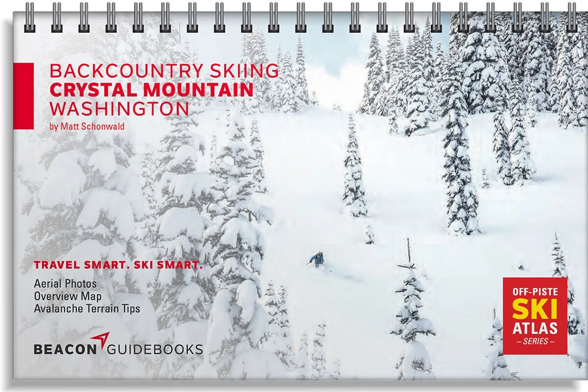
Book Features
5.5” x 8.5” spiral-bound book
66 color pages
62 descents and the Park’s most classic lines
High-quality aerial photos with ascent and descent indicators
Highly-curated, professionally-reviewed zone and run descriptions
Access and approach information with terrain and avalanche exposure tips
Slope angles, aspect, descent lengths
Avalanche Terrain Exposure Scale (ATES) ratings
Parking and trailhead information
Simple and easy-to-read format
Map Features
Waterproof
Tearproof
18” x 22” open
4” x 5.5” folded
1.5 ounces
1:24,000 scale
Parking and trailhead information
Ski descents and uptracks detailed
Slope angles
Avalanche Terrain Exposure Scale ratings