

 Image 1 of 5
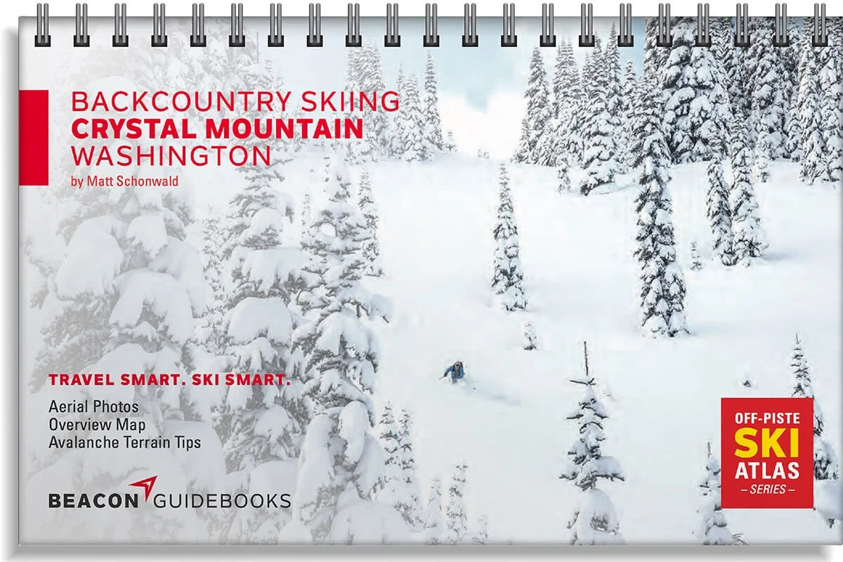 Image 2 of 5
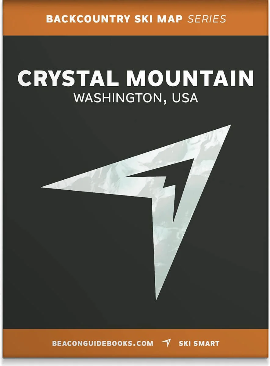 Image 3 of 5
 Image 4 of 5
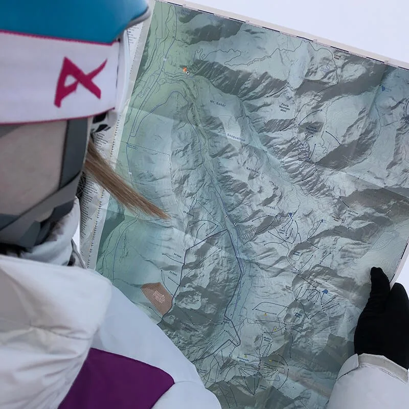 Image 5 of 5
Backcountry Skiing Crystal Mountain, Washington

Crystal Mountain Backcountry Skiing Book and Map
Endless acres of bowls, faces, glades and chutes have drawn dedicated backcountry skiers and splitboarders to this end-of-the-road powder paradise for decades. A sense of adventure still reigns in this land of cold-smoke face shots and devoted locals. Along with the daily avalanche forecast, avalanche education and good group communication, this atlas is your tool for safe and smart route-planning and decision-making.
Author Matt Schonwald has drawn from his years of skiing and guiding experience to bring this professionally reviewed and highly functional guidebook to you.
The book and map cover the following zones: Castle Mountain East & West, Goat Lake, Crow Basin, Bullion Basin, Cement Basin, Lake Basin, Union Creek - Crown Point, Pickhandle Basin, Morse Creek, Beyond South, Farther South, FFF, Sourdough Bowl, Crystal Lakes, Smoka Bowl, Packs + Bowla Bowls, Crystal Peak, Sheep Lake, Chinook, Deadwood Lakes, Yakima & Naches, Taco Peak, The Gates, Southback Gates, and Northback Gates.
Book Features
5.5” x 8.5” spiral-bound book
71 color pages
High-quality aerial photos with ascent and descent indicators
Highly-curated, professionally-reviewed zone and run descriptions
Access and approach information with terrain and avalanche exposure tips
Slope angles, aspect, descent lengths
Avalanche Terrain Exposure Scale (ATES) ratings
Parking and trailhead information
Simple and easy-to-read format
Map Features
Waterproof
Tearproof
18” x 22” open
4” x 5.5” folded
1:24,000 scale
Parking and trailhead information
Ski descents and uptracks detailed
Slope angles
Avalanche Terrain Exposure Scale ratings