

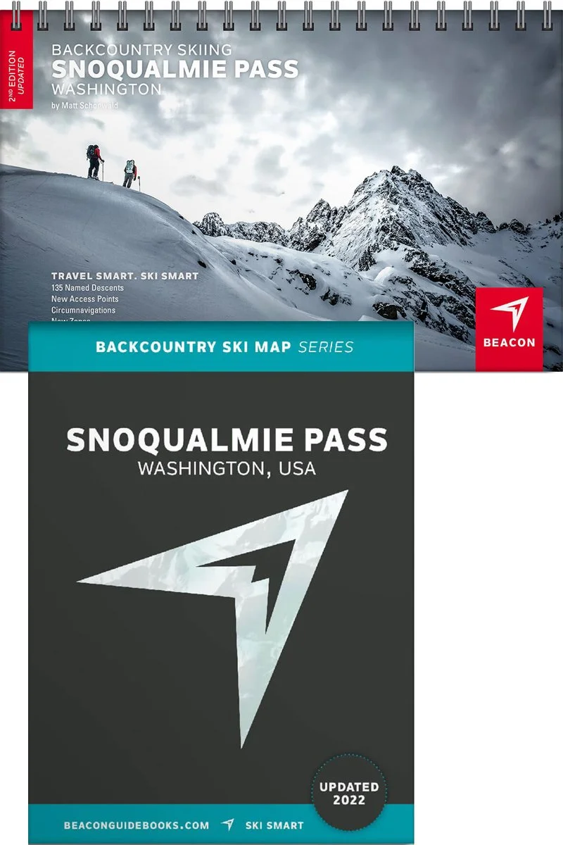
 Image 1 of 5
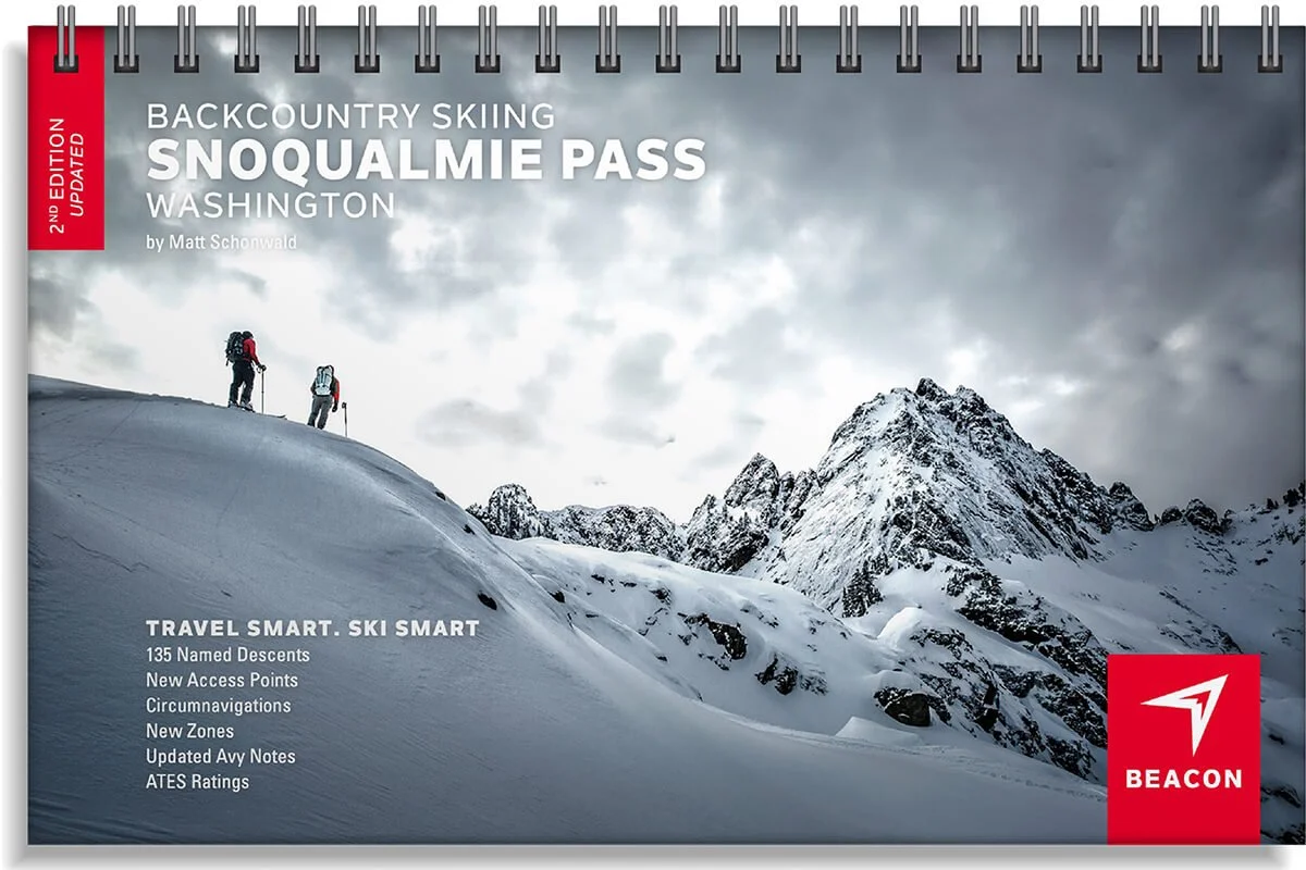
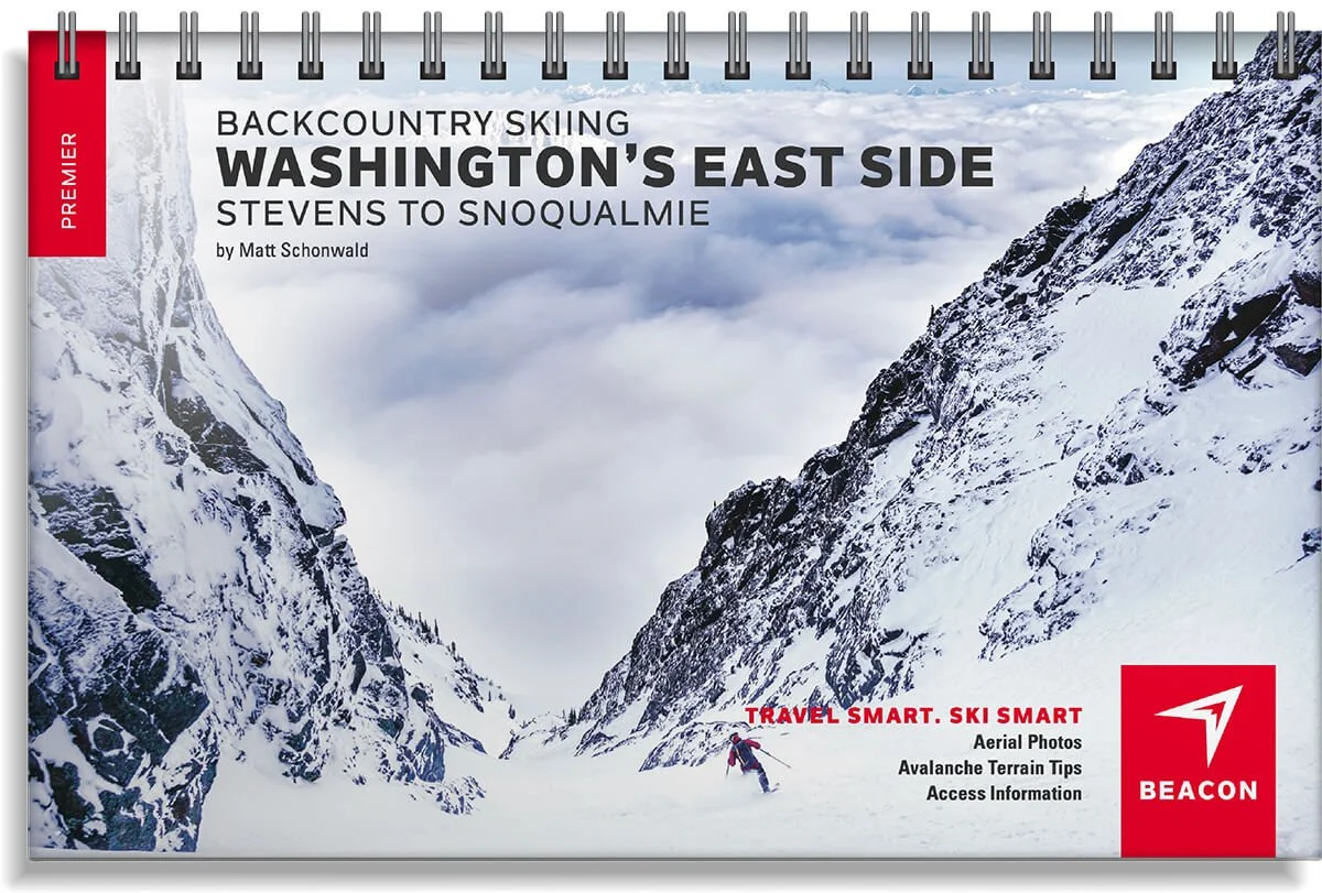 Image 2 of 5
 Image 3 of 5
 Image 4 of 5
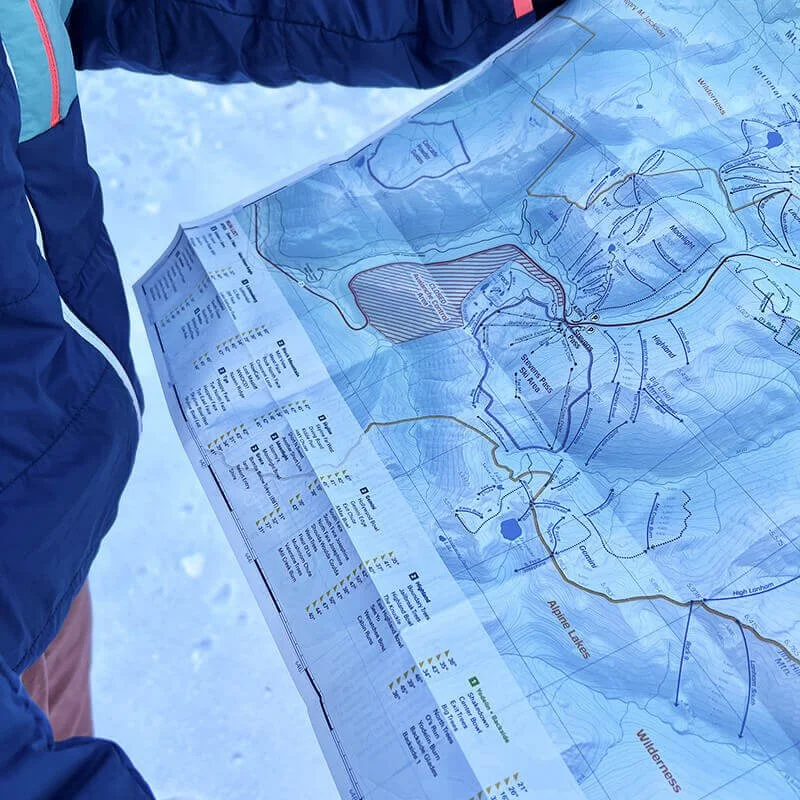 Image 5 of 5
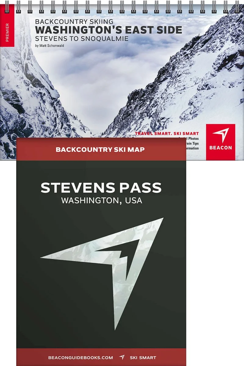
Backcountry Skiing Washington's East Side


Washington’s East Side Backcountry Skiing Book and Map
Commonly referred to as “The East Side,” this expanse of skiable terrain is a mecca for those seeking a drier, colder snowpack and greater exploration. From the north side of Steven’s Pass south to I-90 and stretching east to Mission Ridge, this region offers over 300 tours accessible via ski area side-country, roadside pullouts and long snowmobile approaches. The locations showcased in this atlas offer the entire spectrum of terrain and difficulty and with a greater likelihood of “persistent slabs,” the East Side should be approached with even greater experience, education and humility.
In this photographic ski atlas, professional ski guide and author Matt Schonwold offers the essentials you need to plan your tour while encouraging discovery and self-responsibility. Every single page and detail are highly curated and reviewed to provide a quality, reliable decision-making tool.
The book covers the following zones: Long Canyon, Fangorn Forest, Goose Lake + Gold Hill, Gavolan, Taos Ski Valley North, Middle Fork of the Red River, Horseshoe Lake + Lost Lake, Wheeler Peak East Fork Bowl, The Fingers, Red Rocks, Wheeler Peak West Face, Sin Nombre (Peak 12,819’), South W, North W, Wildy Bowl, Chimayosos Peak, West Fork of Santa Barbara, Trampas Lakes + Jicarilla Peak, Rio Quemado Drainage, Middle Truchas to Medio Truchas Peak, Big Tesuque, Northside Glades, Nambe Cirque, Penitente, Santa Fe Baldy, Oscura Lake
The map covers the following zones: Union + Jove, Valhalla, Lichtenberg, Solstice, Rock Mountain, Tye, Skyline, Moonlight, Grace, Gemini, Highland, Yodelin + Backside, Lanham, Jim Hill, Arrowhead, The Swath, Big Chiwaukum
Book Features
5.5” x 8.5” spiral-bound book
95 color pages
Bonus zones in the Truchas Peaks Range and Santa Fe areas
High-quality aerial photos with ascent and descent indicators
Highly-curated, professionally-reviewed zone and run descriptions
Access and approach information with terrain and avalanche exposure tips
Slope angles, aspect, descent lengths
Avalanche Terrain Exposure Scale (ATES) ratings
Parking and trailhead information
Simple and easy-to-read format
Map Features
Waterproof
Tearproof
18” x 22” open
4” x 5.5” folded
1.5 ounces
1:36,000 scale
Parking and trailhead information
Resort boundaries
Ski descents and uptracks detailed
Slope angles
Avalanche Terrain Exposure Scale ratings