

 Image 1 of 5
 Image 2 of 5
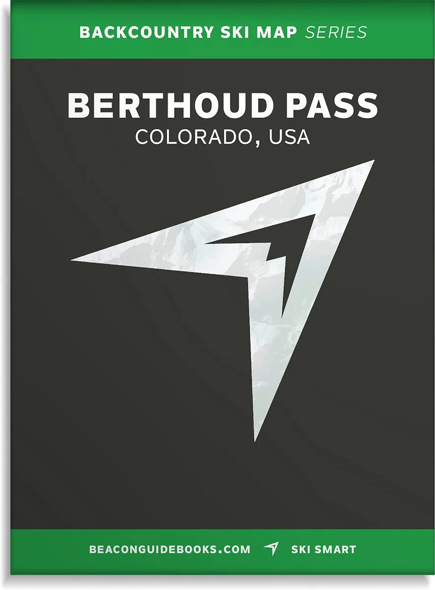 Image 3 of 5
 Image 4 of 5
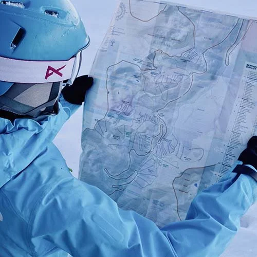 Image 5 of 5
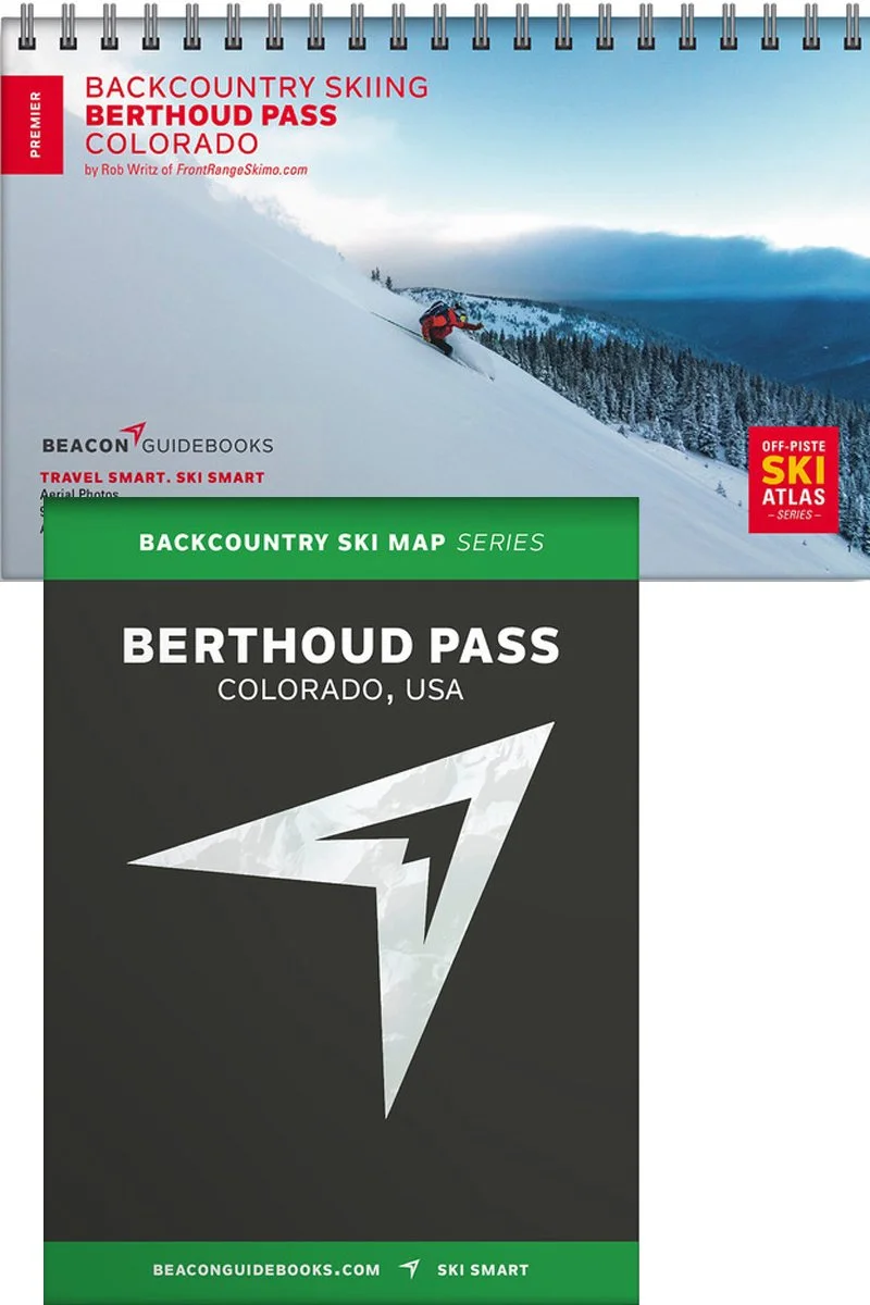
Berthoud Pass Backcountry Skiing Book and Map
Author and founder of Front Range Ski Mountaineering (frontrangeskimo.com), Rob Writz, has put his breadth of knowledge and years of experience on Berthoud Pass into this one-of-a-kind guidebook and map covering over 100 routes.
Since the 1930s, skiers have been exploring the peaks surrounding US Highway 40 as it climbs and descends Berthoud Pass. The former home of one of Colorado’s pioneering ski areas, it has grown into one of the most popular backcountry ski destinations on the Front Range. The Berthoud Pass zone boasts big lines, mellow day tours and everything in between. Every skier can find suitable terrain for their experience and for the day’s avalanche forecast in this guidebook.
The book and map cover the following zones: Pumphouse Basin North & South, West Side, Mt. Russell, No Name, Floral Park, East Side, Hell’s Half Acre, Mines Peak, Lower 80s and 90s, Upper 80s and 90s, Hidden Knoll, Hidden Knoll South, 110s, Upper 110s, Second Creek Ridge East & West, Second Creek Ridge Headwall, and First Creek Ridge.
Book features
5.5” x 8.5” spiral binding
51 color pages
High-quality aerial photos with ascent and descent indicators
Highly-curated, professionally-reviewed zone and run descriptions
Access and approach information with terrain and avalanche exposure tips
Slope angles, aspect, descent lengths
Avalanche Terrain Exposure Scale (ATES) ratings
Parking and trailhead information
Simple and easy-to-read format
Spiral-bound; lightweight and portable size
Map features
Waterproof
Tearproof
18” x 22” open
4” x 5.5” folded
1:13,000 scale
Parking and trailhead information
Ski descents and uptracks detailed
Slope angles
Avalanche Terrain Exposure Scale ratings