

 Image 1 of 5
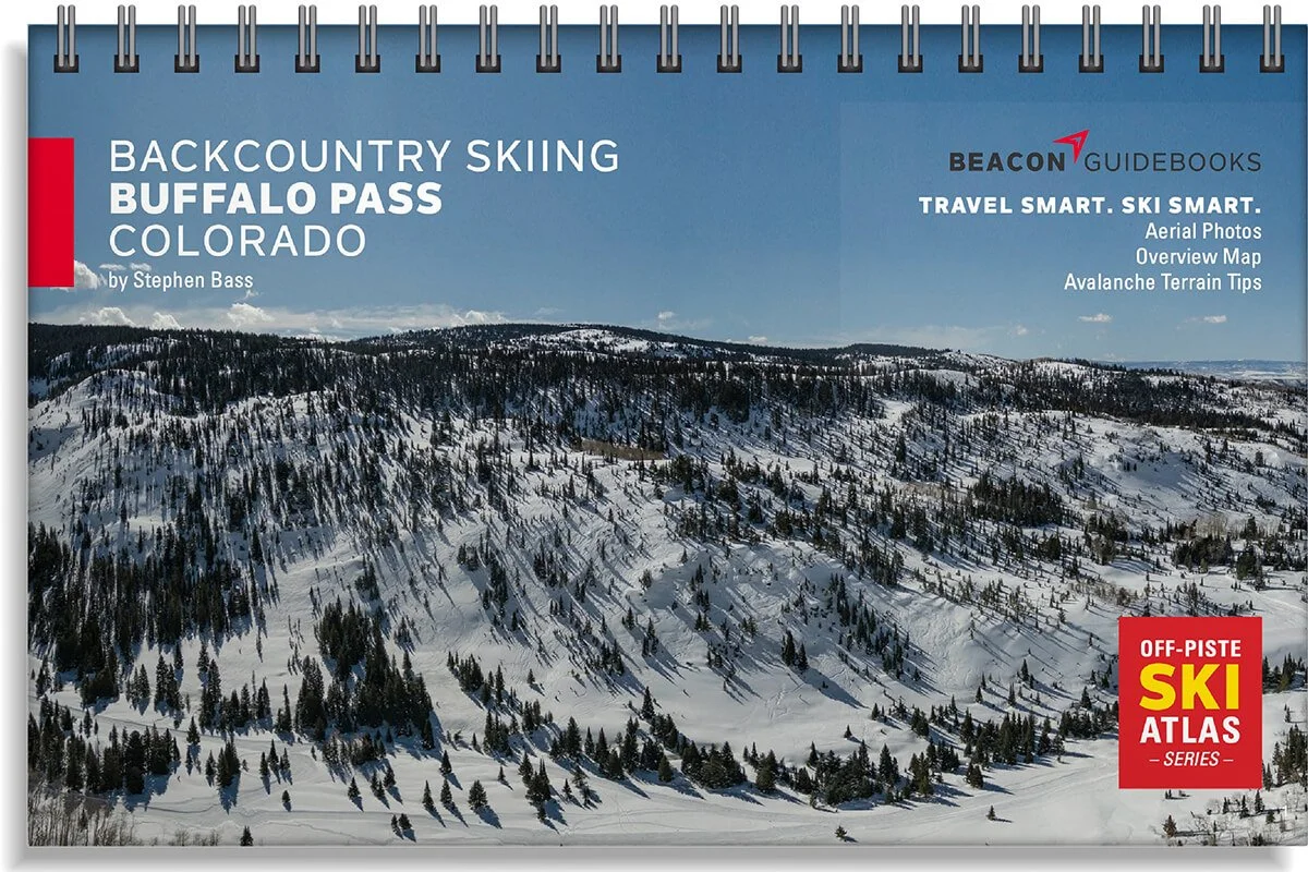 Image 2 of 5
 Image 3 of 5
 Image 4 of 5
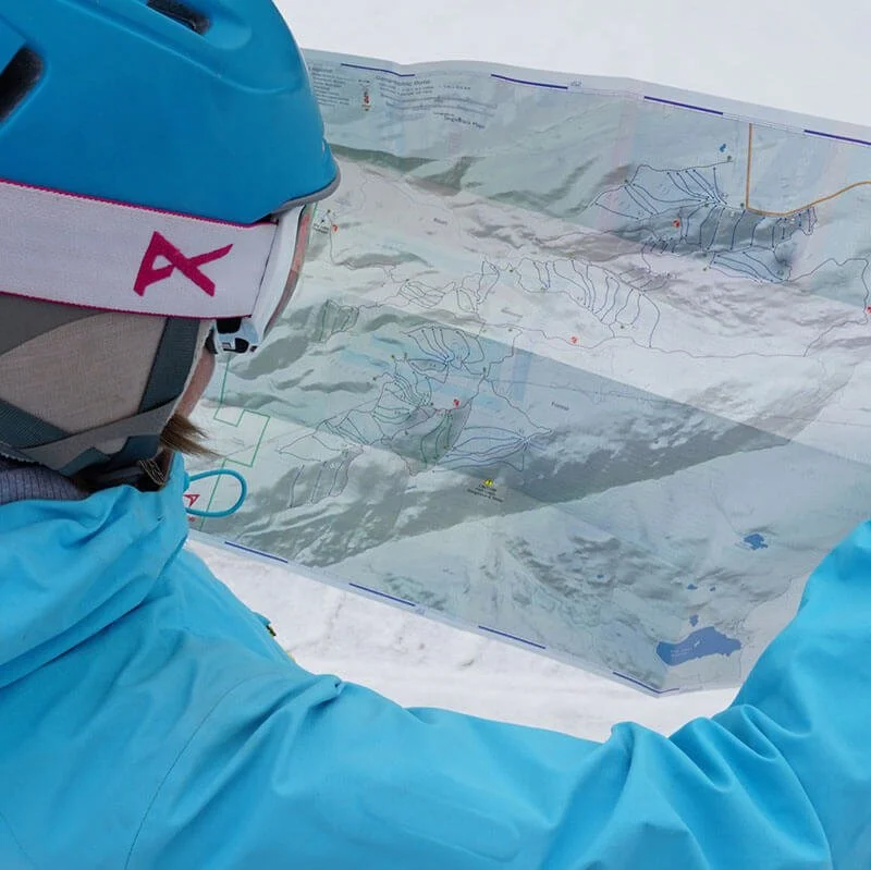 Image 5 of 5
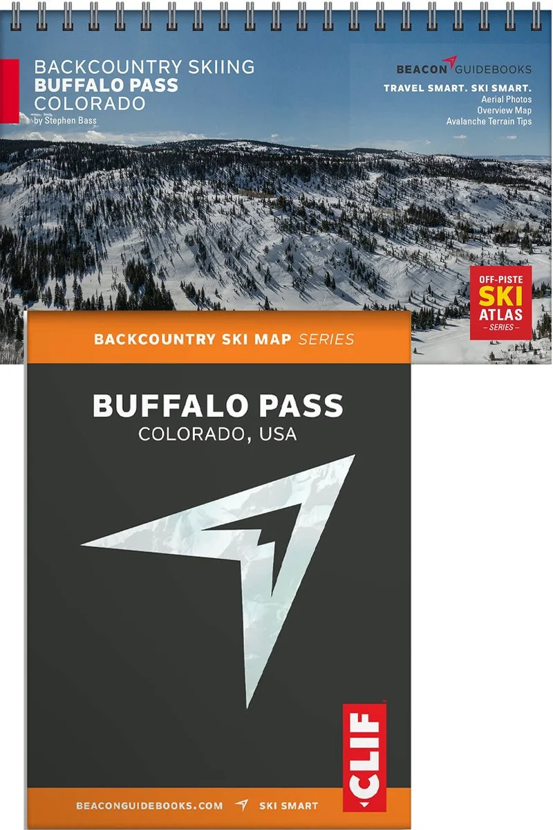
Backcountry Sled-Skiing Buffalo Pass, Colorado

Buffalo Pass Backcountry Sled-Skiing Book and Map
Buffalo Pass, nestled in the Park Range near Steamboat Springs, is the mecca for snowmobile-access backcountry skiing in the Rockies. Boasting some of the best tree skiing around and world-class powder, this area offers mellow terrain to tight and technical lines. In this compact and lightweight guidebook, ski guide and snow geek Stephen Bass has put his breadth of knowledge into creating a solid communication and planning tool for all users. Designed to go along with you on your tours and accompany the Backcountry Skiing Buffalo Pass Ski Map and Ski App.
The book and map cover the following zones: Dry Lake, Quaker Bowl, Fiesta, K9, Big Poppa, The Cabin, The Kingdom, Double A’s, Funhouse, Microburst, Pocket Rockets, Lucky’s Landing, Buffalo Mountain, Galaxy Drop, Forester’s Aspens, Fear and Loathing, Moose Junction, In the Frey (East & West), South Park Ridge, Zohan Point, AC/DC, Davenport, Pueblo, Volcanic Ridge, Lone Stag, Schrute Farms, and Carnival.
Book features
5.5” x 8.5” spiral binding
61 color pages
High-quality aerial photos with ascent and descent indicators
Highly-curated, professionally-reviewed zone and run descriptions
Access and approach information with terrain and avalanche exposure tips
Slope angles, aspect, descent lengths
Avalanche Terrain Exposure Scale (ATES) ratings
Parking and trailhead information
Simple and easy-to-read format
Map features
Covers 82 routes
Waterproof
Tearproof
18” x 22” open
4” x 5.5” folded
1:20,000 scale
Parking and trailhead information
Ski descents and uptracks detailed
Slope angles
Avalanche Terrain Exposure Scale ratings