

 Image 1 of 5
 Image 2 of 5
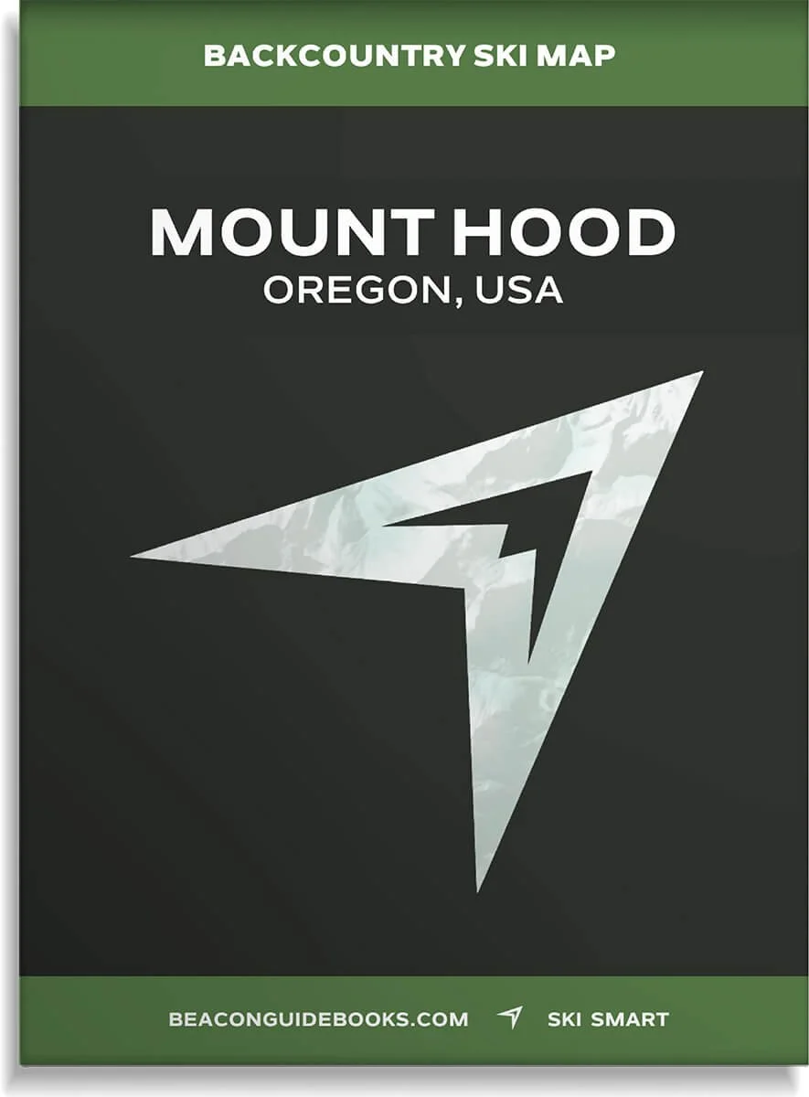 Image 3 of 5
 Image 4 of 5
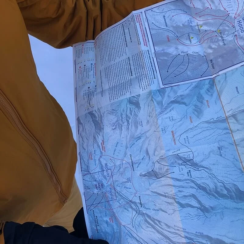 Image 5 of 5
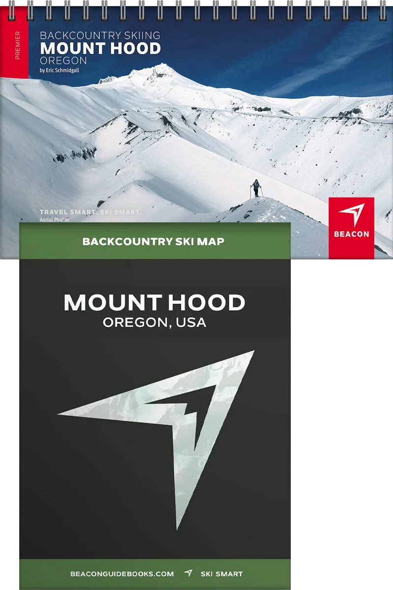
Backcountry Skiing Mount Hood, Oregon

Mount Hood Backcountry Skiing Book and Map
Considered one of the birthplaces of “extreme skiing” in America, Mount Hood boasts a favorable snowpack and a long season. As backcountry use has grown quickly in the past few years, Mount Hood remains a sought-after destination for those looking for ski mountaineering descents, glaciers, and hopefully - powder. Eric Schmidgall has compiled over 60 ski routes that span all levels of difficulty and exposure, ensuring a diverse range of opportunities for every backcountry user. Each page and detail are highly curated and reviewed to provide a professional and reliable decision-making tool.
You’ll find high-quality aerial photos marked with ascent and descent indicators, individual run descriptions, slope angles, aspect, Avalanche Terrain Exposure Scale ratings, parking and trailhead information, and morein a lightweight book that can fit in your pack. Designed to go along with you on your tours and accompany the Backcountry Skiing Mount Hood Ski Map.
The book and map cover the following zones: Tom Dick + Harry Mountain, Mount Hood Skibowl, Timberline Resort/Summit Pass, Alpine Trail, Palmer, Illumination Rock, Zigzag Canyon, Crater, Wy’ East, White River Canyon, Mount Hood Meadows, Peagravel Ridge, Pocket Creek, Bennett Pass, Tilly Jane, Snowdome, Upper Copper Spur, Barrett Spur, Sandy Glacier Headwall, Leuthold Couloir, Circumnavigation
Book Features
5.5” x 8.5” spiral-bound book
75 color pages
High-quality aerial photos with ascent and descent indicators
Highly-curated, professionally-reviewed zone and run descriptions
Access and approach information with terrain and avalanche exposure tips
Slope angles, aspect, descent lengths
Avalanche Terrain Exposure Scale (ATES) ratings
Parking and trailhead information
Simple and easy-to-read format
Map Features
Waterproof
Tearproof
18” x 22” open
4” x 5.5” folded
1.5 ounces
1:30,000 scale
Parking and trailhead information
Resort boundaries
Ski descents and uptracks detailed
Slope angles
Avalanche Terrain Exposure Scale ratings