

 Image 1 of 5
 Image 2 of 5
 Image 3 of 5
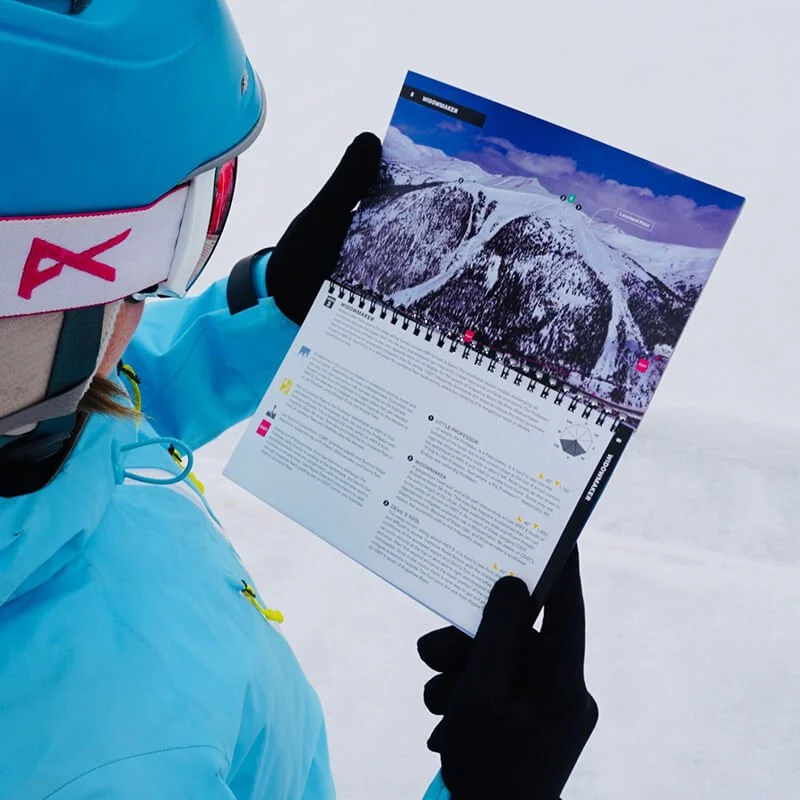 Image 4 of 5
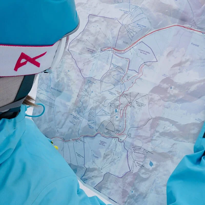 Image 5 of 5
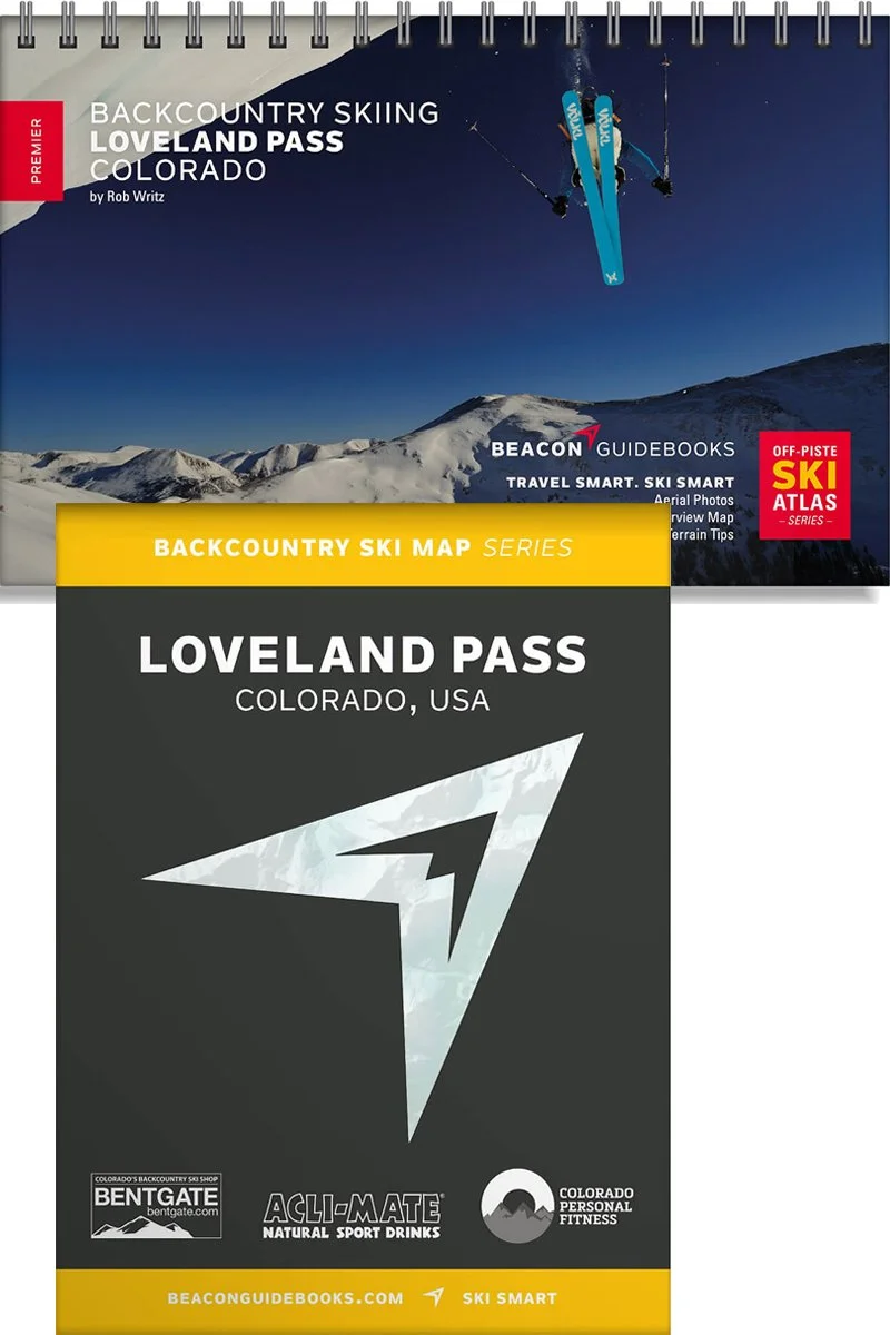
Backcountry Skiing Loveland Pass, Colorado
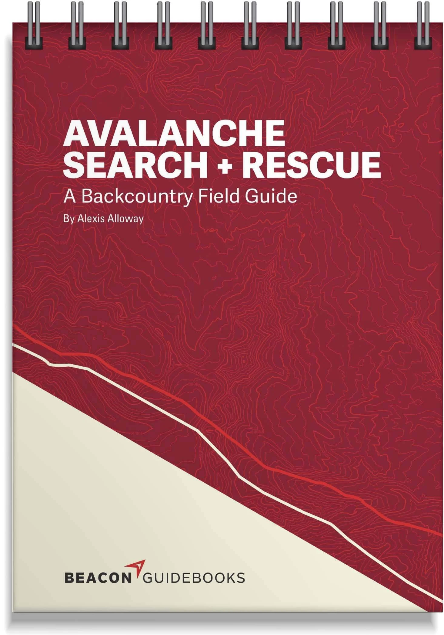

Loveland Pass Backcountry Skiing Book and Map
Welcome to the epicenter of backcountry skiing and snowboarding on Colorado’s Front Range. With over two decades of experience, Rob Writz, author and founder of Front Range Ski Mountaineering (frontrangeskimo.com), has delivered a book that is accessible to every type of skier for one of the most iconic backcountry zones in Colorado. Along with the drop-in terrain at the top of the pass, this guidebook reveals opportunities to go beyond the hustle and bustle and explore.
From gentle light tours to gnarly couloirs, from hidden powder stashes to epic long days, this ski atlas brings it all to your hands. Designed to go along with you on your tours and accompany the Backcountry Skiing Loveland Pass Ski Map.
The book and map cover the following zones: Watrous Gulch, Herman Gulch North, Mount Bethel Saddle, Upper & Lower Dry Gulch, Mount Trelease, Mine Dumps, Loveland Pass Bowl, Summit, Widowmaker, Shadowland, Hippie Trees, No Name Peak, Lower No Name Bowl, Porcupine Gulch, West Corner, Dave’s Wave, Black Mountain, Marjorie Bowl, and Porcupine Peak.
Book Features
5.5” x 8.5” spiral-bound book
50 color pages
High-quality aerial photos with ascent and descent indicators
Highly-curated, professionally-reviewed zone and run descriptions
Access and approach information with terrain and avalanche exposure tips
Slope angles, aspect, descent lengths
Avalanche Terrain Exposure Scale (ATES) ratings
Parking and trailhead information
Simple and easy-to-read format
Map Features
Waterproof
Tearproof
18” x 22” open
4” x 5.5” folded
1:26,000 scale
Parking and trailhead information
Resort boundaries
Ski descents and uptracks detailed
Slope angles
Avalanche Terrain Exposure Scale ratings